Cruise Destination Maps
The Gulf of Alaska is an arm of the Pacific Ocean defined by the curve of the southern coast of Alaska, stretching from the Alaska Peninsula and Kodiak Island in the west to the Alexander Archipelago in the east.

Venice
Get to know our slice of Paradise - located on the SW Coast of Fl.
Attractions
Beaches
Canoe/Kayak
Boat Launches
Boat Charters
Fishing Charter
Fishing Piers
Historical Sites
Golf
Parks
Hotels
Relocate
Venice Map
Map Sources: USGS and NPS
ports > maps > Canada/Alaska
Canada/Alaska Maps
Check the individual port pages for the best selection of maps and links. All map links open in a new window.
Alaska Map 1
Alaska
Map 2
Alaska Peninsula
Alaska Regions
Alaska Boroughs
Anchorage
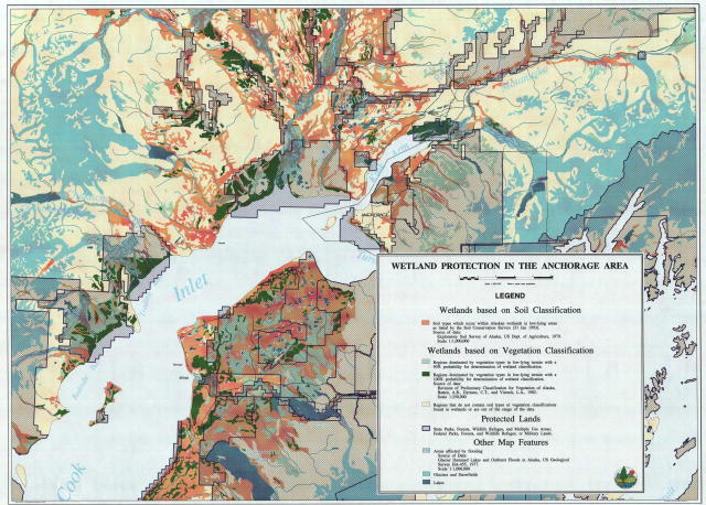
Wetlands
Anchorage
Kodiak
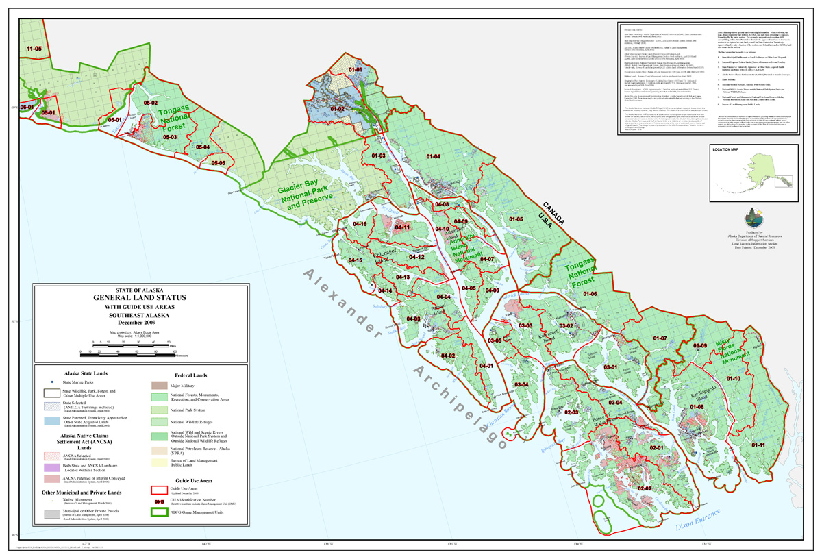
Alexander Archipelago
Glacier Bay Area
Homer
Kenai Map
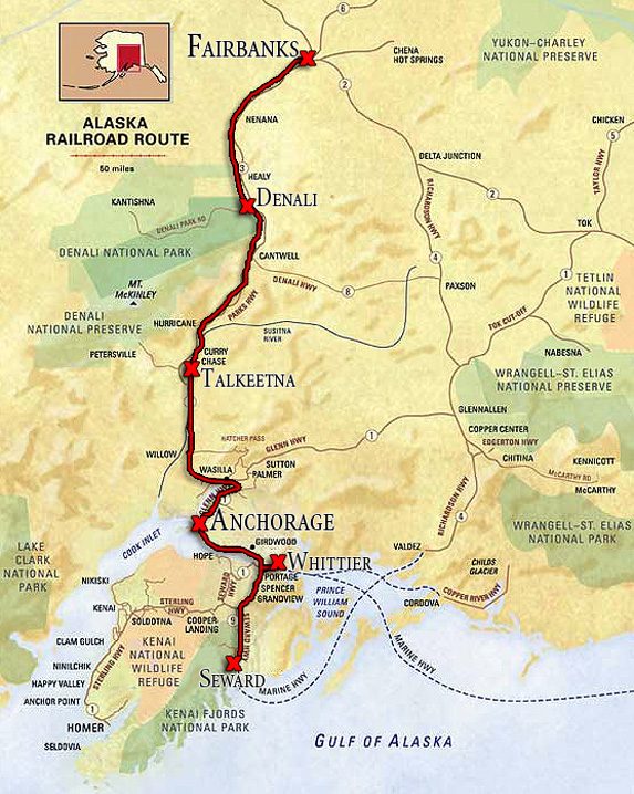
Alaska Railroad Route
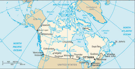
Canada
Vancouver
Neighborhoods


