Eastern Pacific Tropical Storm Update
National Weather Service Tropical Storm Advisories


Venice
Get to know our slice of Paradise - located on the SW Coast of Fl.
Attractions
Beaches
Canoe/Kayak
Boat Launches
Boat Charters
Fishing Charter
Fishing Piers
Historical Sites
Golf
Parks
Hotels
Relocate
Venice Map
|
Amanda
5/30 |
Marie Norbert Odalys Polo Rachel Simon Trudy Vance Winnie Xavier Yolanda Zeke |
2020 Eastern Pacific Storm Names
Weather Links
About Tropical Cyclones
NHC/NOAA
Puerto Rico Radar
Atlantic Tropical Storm 1
Atlantic Tropical Storm 2
Eastern Pacific Storm 2
NOAA Eastern Pacific Satellite Image in Motion
NOAA Gulf of Mexico Satellite Image in Motion
The Cooperative Institute for Meteorological Satellite Studies (CIMMS) Tropical Cyclone website offers up-to-date worldwide tracking of tropical cyclones.
More Links
CDC Ratings
Travel Warnings
Cruise Ship Safety
Cruising Advice
Ports Overview
Embarkation Ports
Best Caribbean Beaches
Clothing Optional Beaches
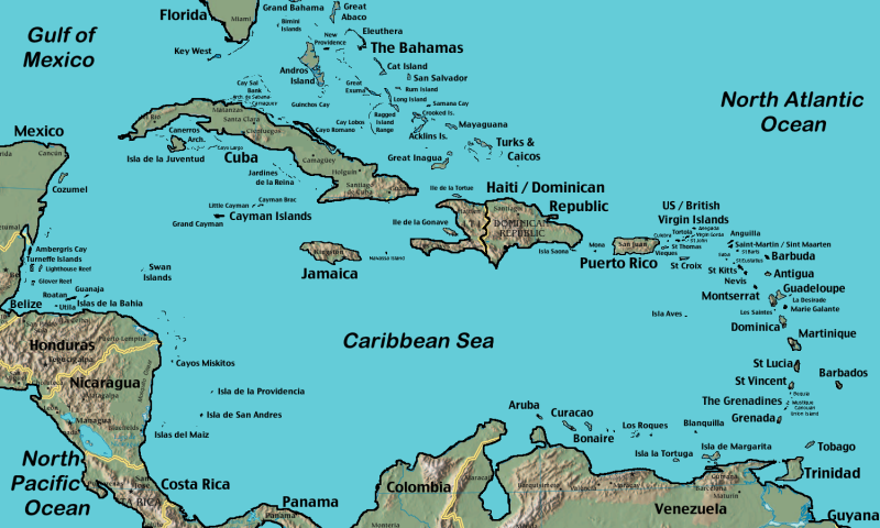 Caribbean Map |
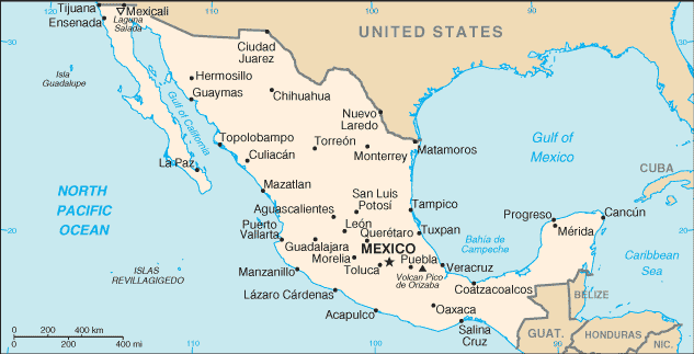 Mexico Map |
ports > weather > East Pacific storm
Eastern Pacific Cyclones
NHC Tropical Storm Advisory
Storm Name:
Intensity: Wind Scale
Movement: at mph
Max Winds: mph
Pressure: mb
Location: °N., °W
Source: NOAA CPHC NWS
Watches and Warnings:
|
For storm information specific to your area, including possible inland watches and warnings, please monitor products issued by your local National Weather Service forecast office. |
Summary:
Hazards Affecting Land
![]()
![]()
![]()
NOAA Atlantic Satellite Image in Motion
NOAA Gulf of Mexico Satellite Image in Motion
Tropical Cyclone Imagery - Storm Floaters
Peak of Season Map
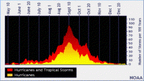
Peak tropical storm season is around September 15th
Wind Scale
Tropical Depression
Wind speed less than 39 MPH
Tropical Storm
Wind speed between 39 MPH and 73 MPH
Hurricane
Wind speed between 74 MPH and 110 MPH
Major Hurricane
Wind speed greater than 110 MPH